Educational Needs: The city conducts regular evacuation drills to ensure the safety of the populous. This drill is conducted every year on the 12th of January, which is the memorial day for the devastating eruption of 1914. They use ferryboats, helicopters, and aircrafts to make sure everyone could get out of the city safely if there was ever and unexpected explosion. Kagoshima also built refuge shelters where people could hide in safely if ever an extreme eruption were to suddenly occur.
JMA (Japan Meteorological Agency) has issued four levels of activity:
Green or Level 1: volcano is dormant; normal seismic activity
Yellow or Level 2: volcano is restless; eruption may occur
Orange: in eruption or one may occur at any time
Level 3: significant local eruption in progress
Level 4: hazardous local eruption in progress
Red or Level 5: explosive eruption
*Sakura-Jima, as of November 20, 2008, is erupting at the orange level*
Precautions: As the city practices regular evacuation drills, they also require the children to wear hard-hats while they walk to school to protect against possible falling debris. Many people around town have been seen carrying umbrellas on a daily basis to protect themselves from falling ash and debris.
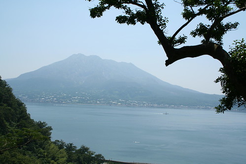
Within the community: Kagoshima uses the volcano's location to it's advantages. The volcano is the sight of many volcanic studies/excavations each year, along with popular island tourism. To tourists, the mountain is accessible, when safe, by the Sakurajima Ferry, which is short boat ride from the shore of Kagoshima. Over 2/3 of the island is closed off, due to safety; However, the 1/3 that is safe is used as a popular tourist site. Another way tourists/locals can experience the effects of the volcano is to travel down Lava Road. Lava Road is a footpath were you can travel on the lava plains of Sakurajima. Several lava formations can be explored here, which can provide information of past eruptions.
Plate Boundaries: The SakuraJima Volcano rests on the southern island of Japan, known as Kyushu. Japan rests along the Eurasian Plate, coming in contact with the Filipino plate. These plates rest in a subduction zone, meaning it's a convergent boundary. These two plates are pushing towards each other.